

Trabzon is one of the provinces located in the eastern part of the Black Sea Region, possessing a unique structure in terms of both area and population distribution. The total area of the province is estimated at approximately 6,685 square kilometers. This value places Trabzon in the middle ranks in terms of area within Turkey. However, the sheer size of its area alone is insufficient to explain the city's actual settlement and land use capacity. The mountainous terrain, the significant elevation differences between the coast and inland areas, and the limited availability of habitable land directly influence how Trabzon's area is perceived.
Trabzon's population is concentrated in certain areas relative to its surface area. Coastal areas and central districts house a significant portion of the province's total population, while the inland and higher regions have a sparser population structure. This results in an uneven distribution of people per square kilometer across the province. When evaluating Trabzon's ranking in Turkey, both surface area and population density should be considered together. In this context, Trabzon is among the provinces with a considerable surface area but limited land use due to geographical conditions.Geographical features play a decisive role in this structure.
How does Trabzon's surface area compare to the other Black Sea provinces?
The Black Sea Region is one of the most rugged and mountainous geographical regions of Türkiye. Trabzon is a medium-sized province in this region in terms of area. When considered among the Eastern Black Sea provinces, Trabzon has a larger area than smaller provinces such as Rize and Artvin. Conversely, it lags behind larger Black Sea provinces such as Ordu and especially Samsun in terms of area.
Trabzon's location within the Black Sea determines how its land is utilized. Like many provinces in the region, a significant portion of Trabzon's land consists of mountainous areas. This leads to a concentration of agricultural, industrial, and residential areas in limited regions. Districts located along the Black Sea coast, despite having smaller land areas, are prominent in terms of economic activity and population density. Inland districts, while having larger land areas, have lower population densities.
This table allows Trabzon to be considered neither entirely small nor entirely large within the Black Sea Region. Despite its balanced geographical location, geographical conditions stand out as the primary factor limiting the use of this area.
How does Trabzon's geographical structure affect its surface area?
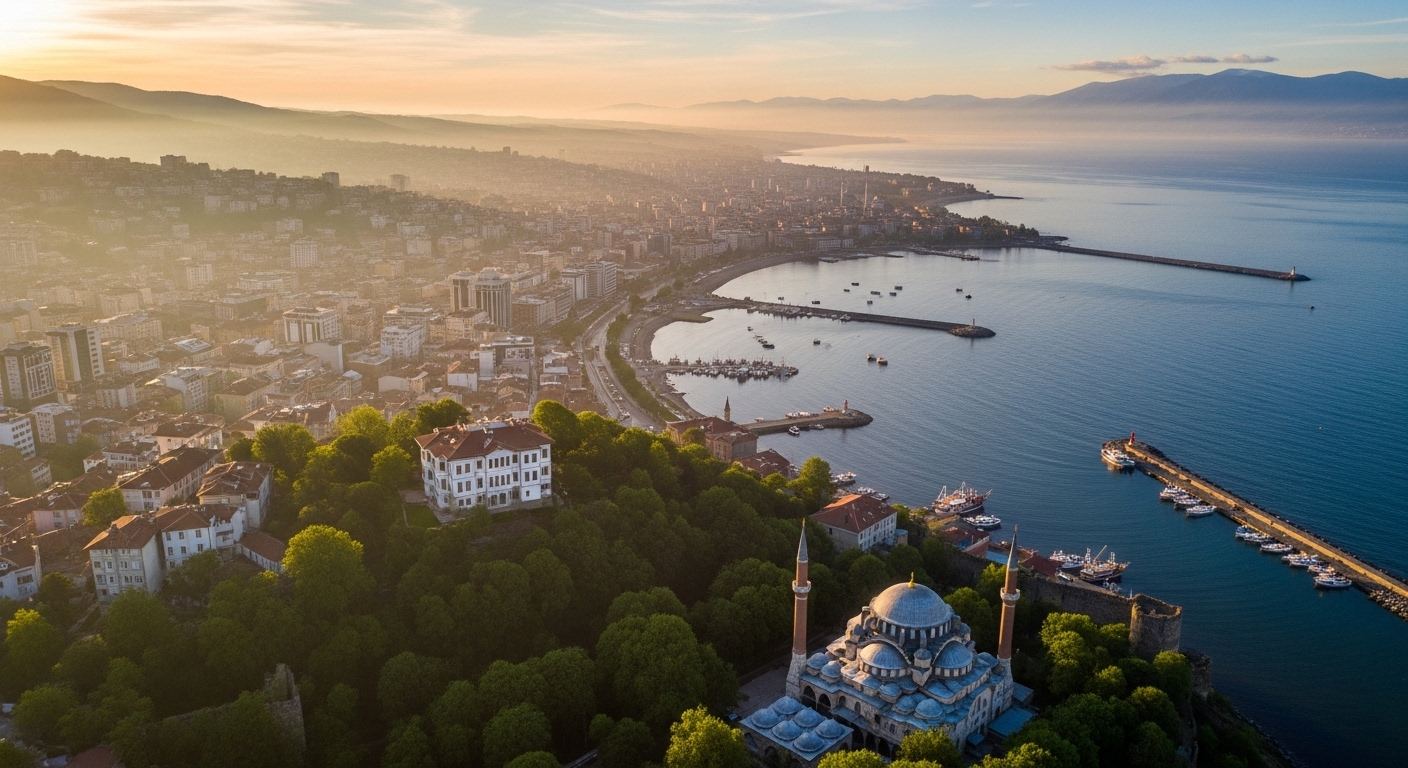
To understand the size of Trabzon, a detailed assessment of its geographical structure is necessary. A large portion of the province's land is mountainous and rugged. The Black Sea Mountains rise rapidly a short distance from the coast, creating a significant elevation difference between the coast and the interior. This structure naturally leads to a concentration of settlements in areas close to the coastline.
The limited number of wide, flat plains makes it difficult to actively utilize the entire surface area of Trabzon. Settlements along the valleys lead to agricultural activities being concentrated in specific micro-areas. The steep slopes also complicate the planning of transportation infrastructure. Therefore, Trabzon has a transportation network shaped by roads, tunnels, and viaducts.
Geographical features also influence the climate. In regions with heavy rainfall, the risk of landslides and erosion is an important factor to consider in urban planning. All these factors necessitate evaluating Trabzon's surface area not only as a numerical value but also in terms of its usable land capacity.
How has the population of Trabzon changed over the years?
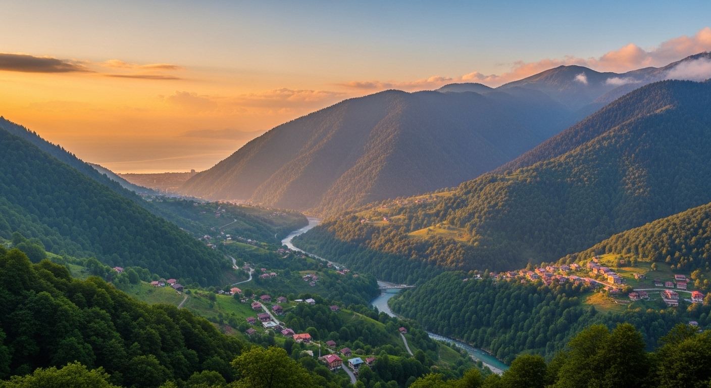
Trabzon's population has fluctuated throughout history, experiencing increases and decreases at various times. While the rural population was higher in the past, a population movement towards the city center has occurred over time. The concentration of educational, healthcare, and commercial opportunities in the central districts is among the main factors accelerating this internal migration process.
In recent years, Trabzon's population growth rate has been limited. Despite having metropolitan status, migration to metropolises like Istanbul and Ankara acts as a balancing factor for population growth. However, the university population, healthcare services, and regional trade activities create a certain population dynamism in Trabzon.
When the distribution of the population across the land area is examined, it is seen that the number of people per square kilometer is quite high in coastal areas. In the inland and higher regions, this ratio decreases significantly. This situation indicates that Trabzon does not have a homogeneous structure in terms of population density.
Distribution of Trabzon's Surface Area by Districts
In Trabzon, the largest districts in terms of area are generally located in the interior. Çaykara and Maçka are among the districts with the largest surface area in the province, and due to the mountainous terrain, settlements in these districts are concentrated along limited valleys. Despite their large surface area, population density is low, and agricultural and livestock activities are mostly carried out in small and fragmented areas.
The smallest districts in terms of area are Ortahisar, Yomra, and Beşikdüzü, all located on the coast and close to the city center. Ortahisar, in particular, despite being Trabzon's most densely populated district, has a relatively small land area. The concentration of commerce, public services, transportation, and housing in these districts gives the population density per square kilometer one of the highest in the province.
The distribution of land area by district clearly shows an inverse relationship between land area and population in Trabzon. Districts with larger land areas have sparser populations, while the smaller central and coastal districts are under intense urbanization and population pressure. This situation necessitates that infrastructure investments and local planning be addressed with different priorities from district to district.


Comments
Write the first comment.